NYS Route 17 PEL Study
Orange & Sullivan Counties, NY
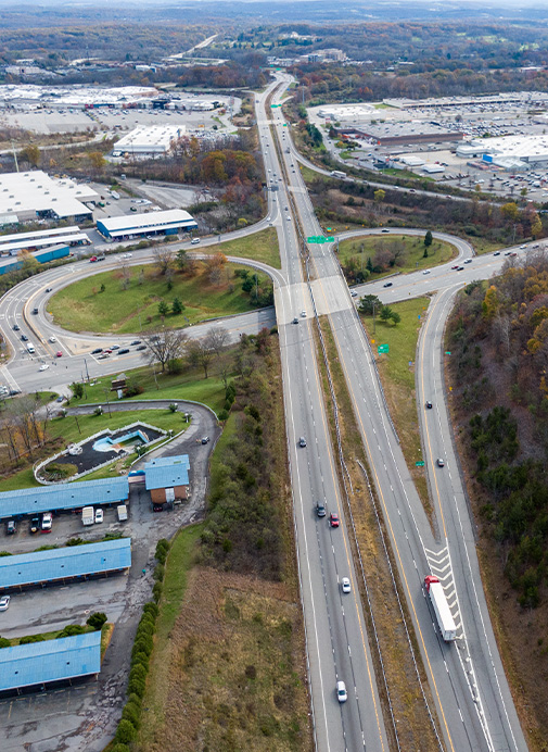
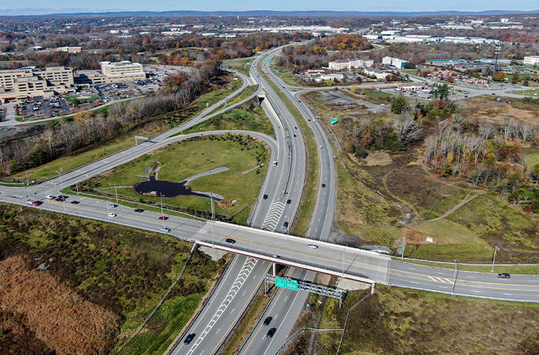
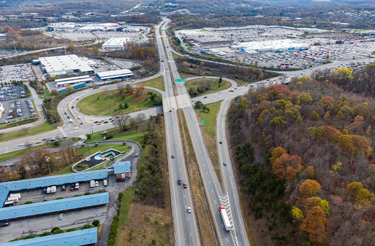
The Route 17 PEL Study served as an investigation to construct a third lane on Route 17 from Woodbury to Monticello. HVEA was responsible for the environmental corridor study, which included land use cover, surface waters, endangered species habitats, historic resources, vegetation and topography reporting and analysis. HVEA staff used ArcGIS software to develop environmental existing conditions maps for the project, including geotagged photos and descriptions of different environmental resources along the corridor.
HVEA delineated over fifteen miles of wetlands within the project study area throughout the thirty-mile corridor. HVEA staff delineated over 100 wetland sites and hydrologic connections in the corridor, as well as ordinary high-water marks of any stream passing through the corridor. HVEA surveyed flagged wetlands using GIS software and mapping in the field. Staff performed field investigations and soil tests to determine the presence of hydric soils in wetlands.
HVEA is assisting in writing the wetland delineation report, as well as assisting with various endangered species habitat assessments, studies and reports. This project involves a deeper investigation into all environmental resources along, within, and adjacent to the corridor, and how different transportation alternatives will impact these resources.